Duboce Triangle & Eureka Valley
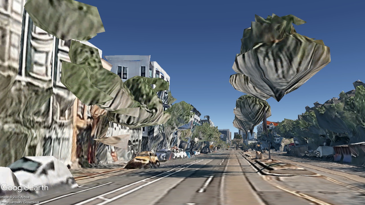
Mid-block on Market St between Noe and Sanchez, looking Northeast
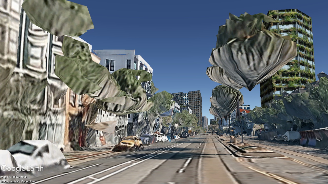
2036
Now
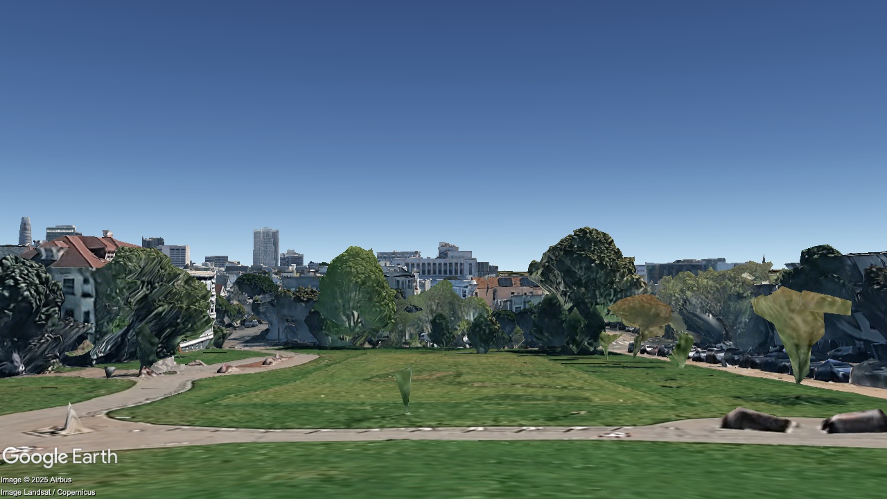
Duboce Park, looking east
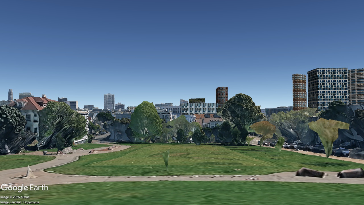
2036
Now
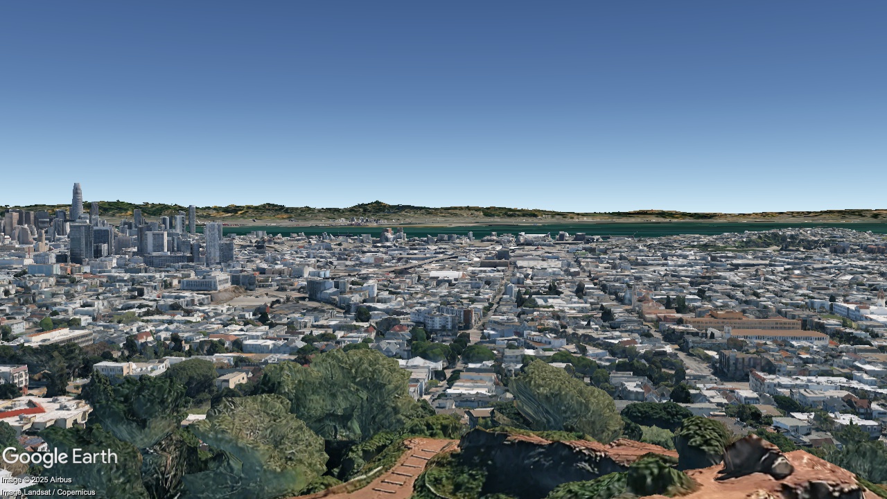
Corona Heights Summit, looking East
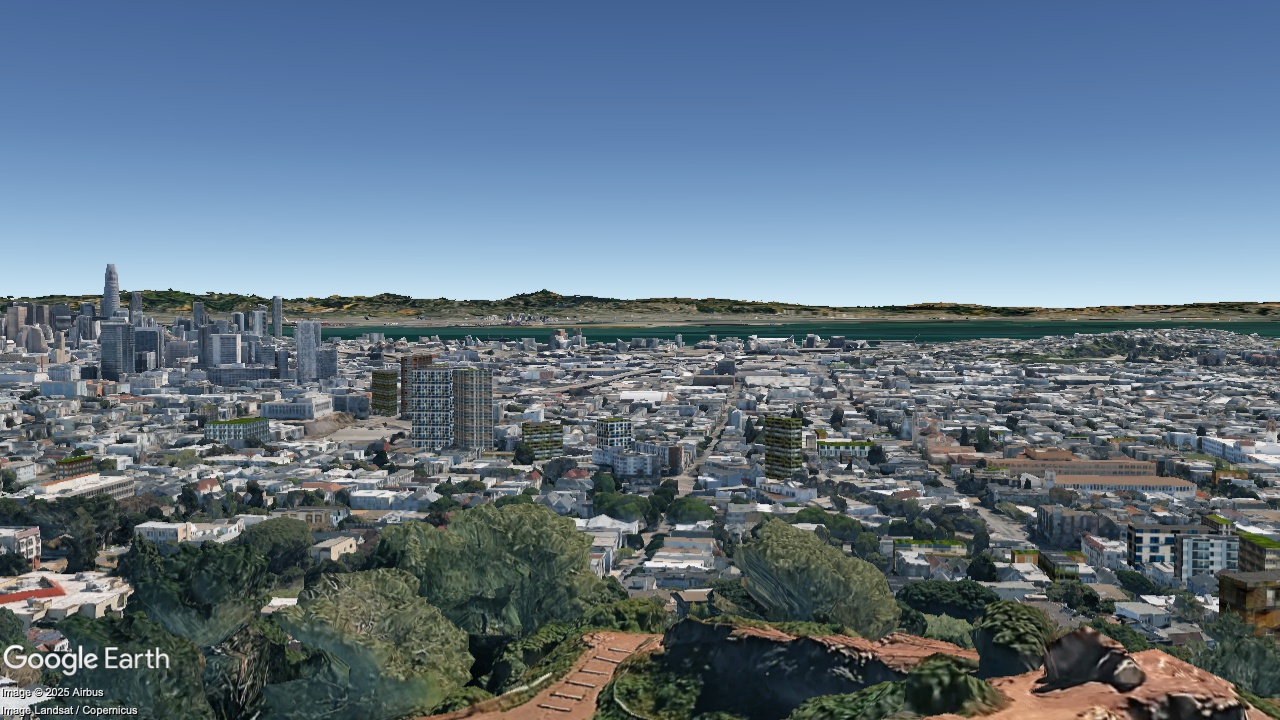
2036
Now
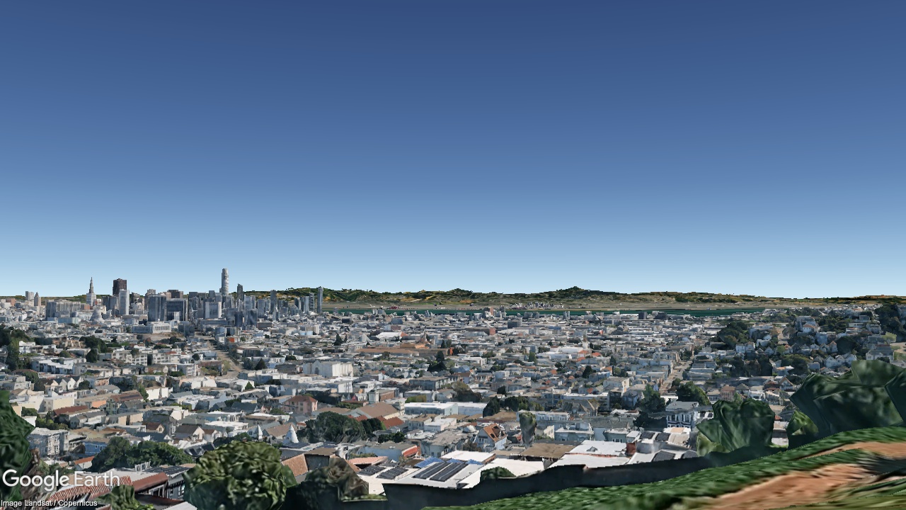
Kite Hill, looking East
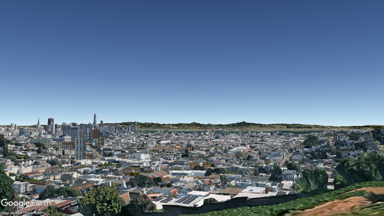
2036
Now
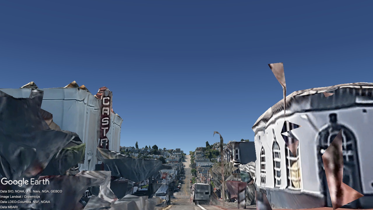
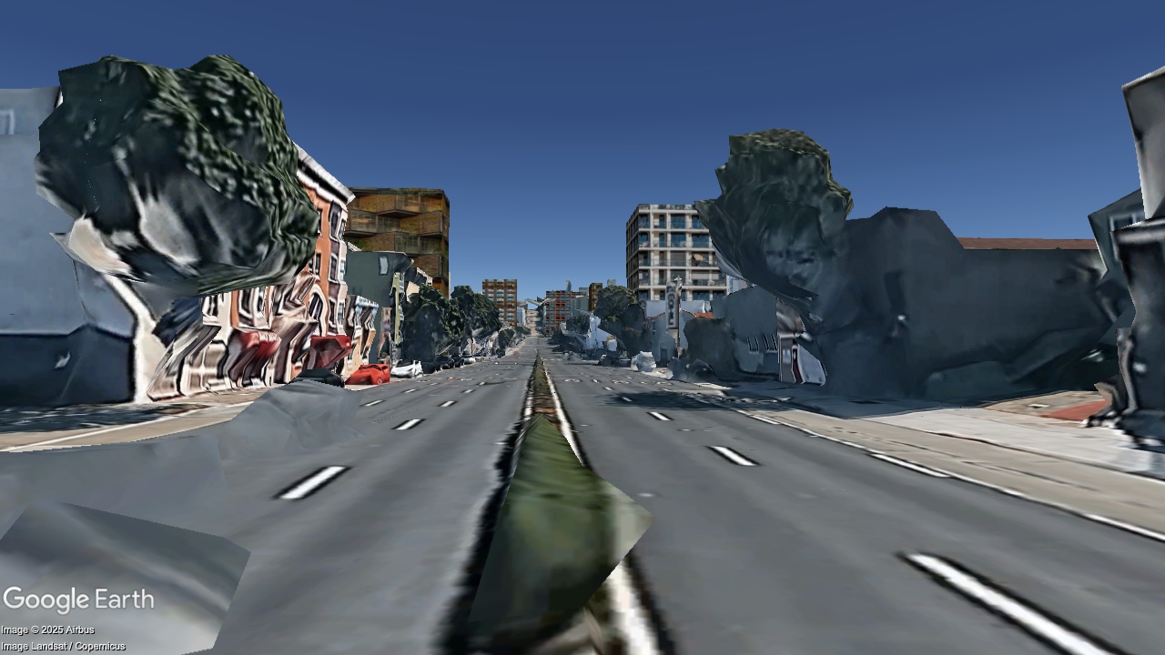
Castro Street at 17th St, looking South
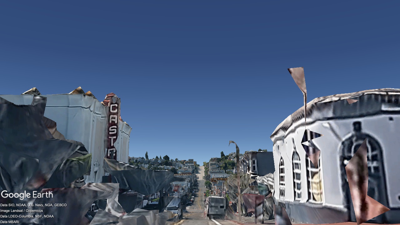
2036
Now
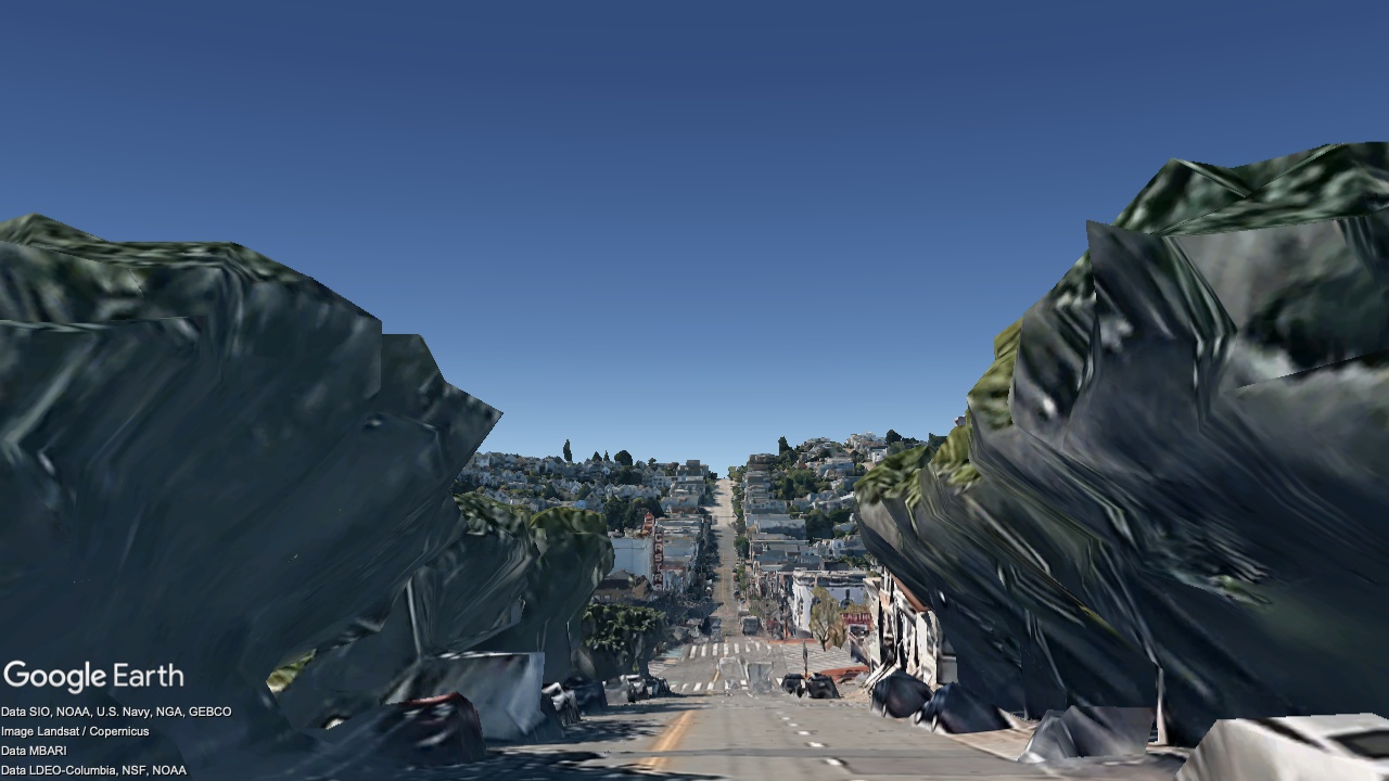
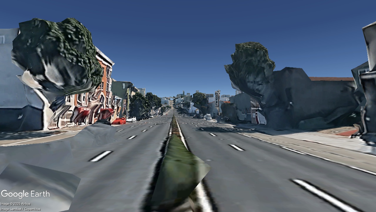
Castro Street at 16th, looking South
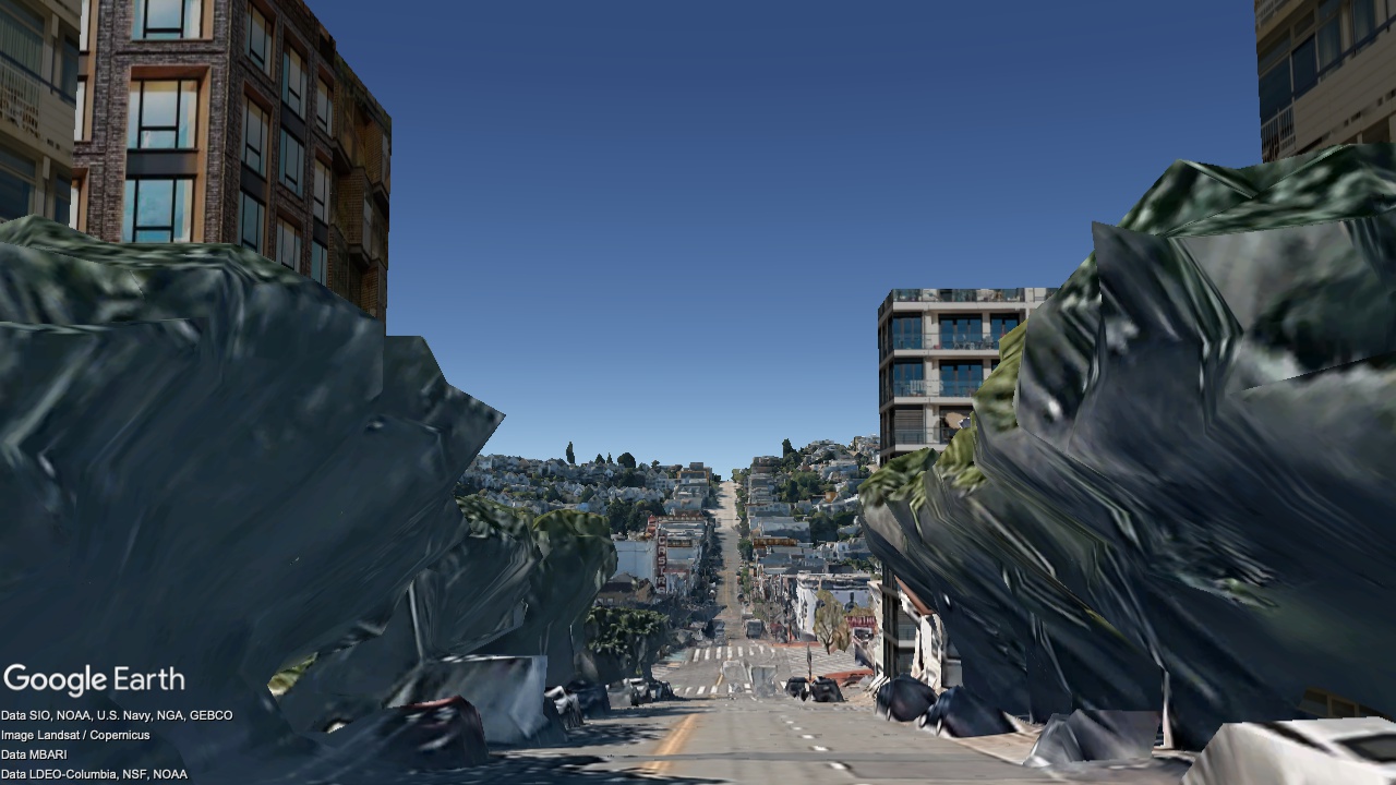
2036
Now
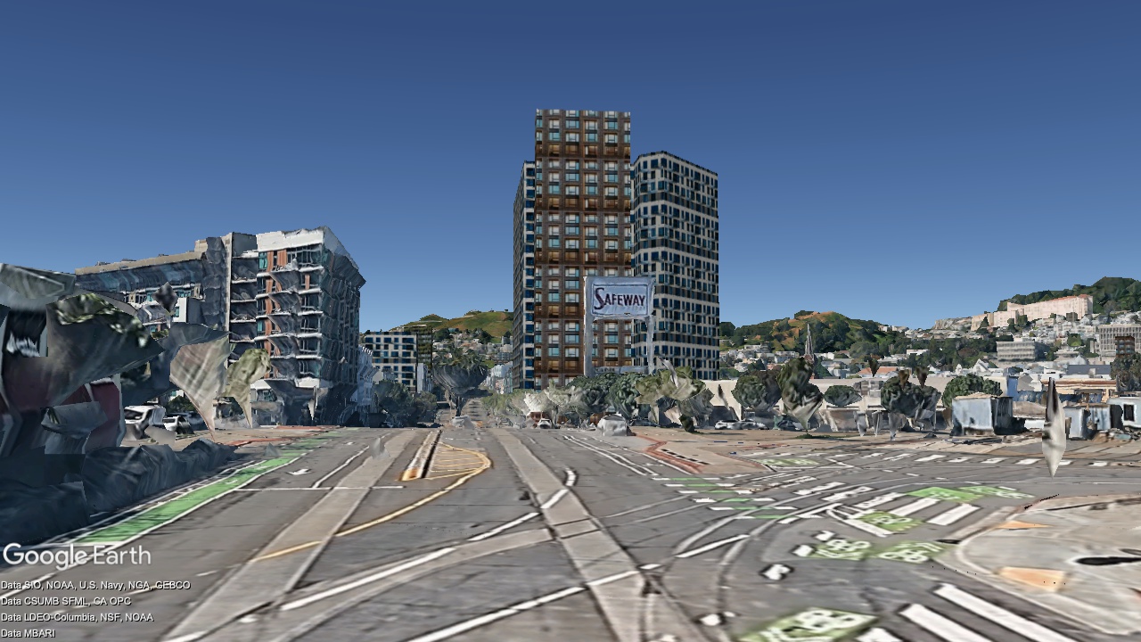
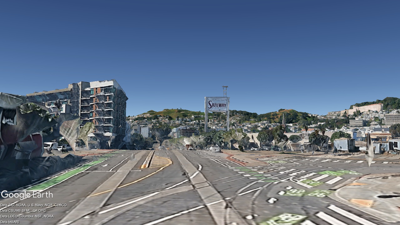
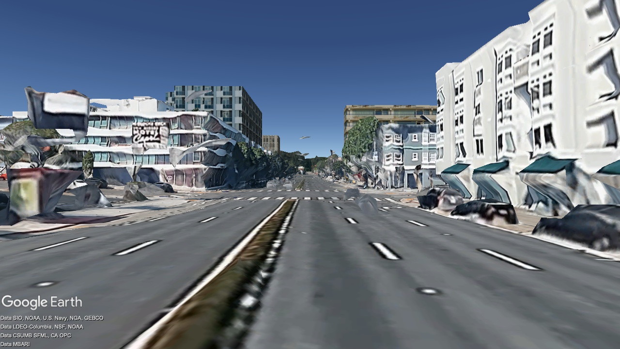
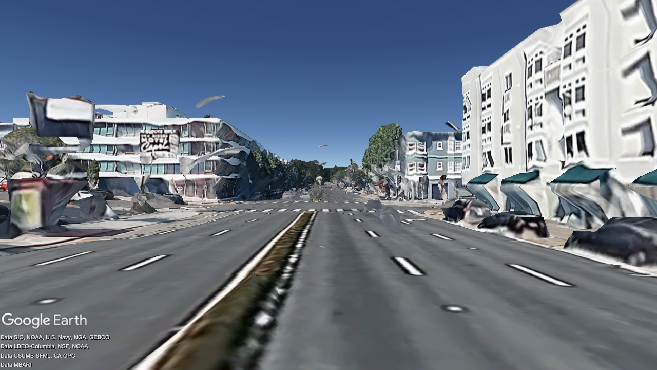
Market St at Church St, looking Southwest
2036
Now
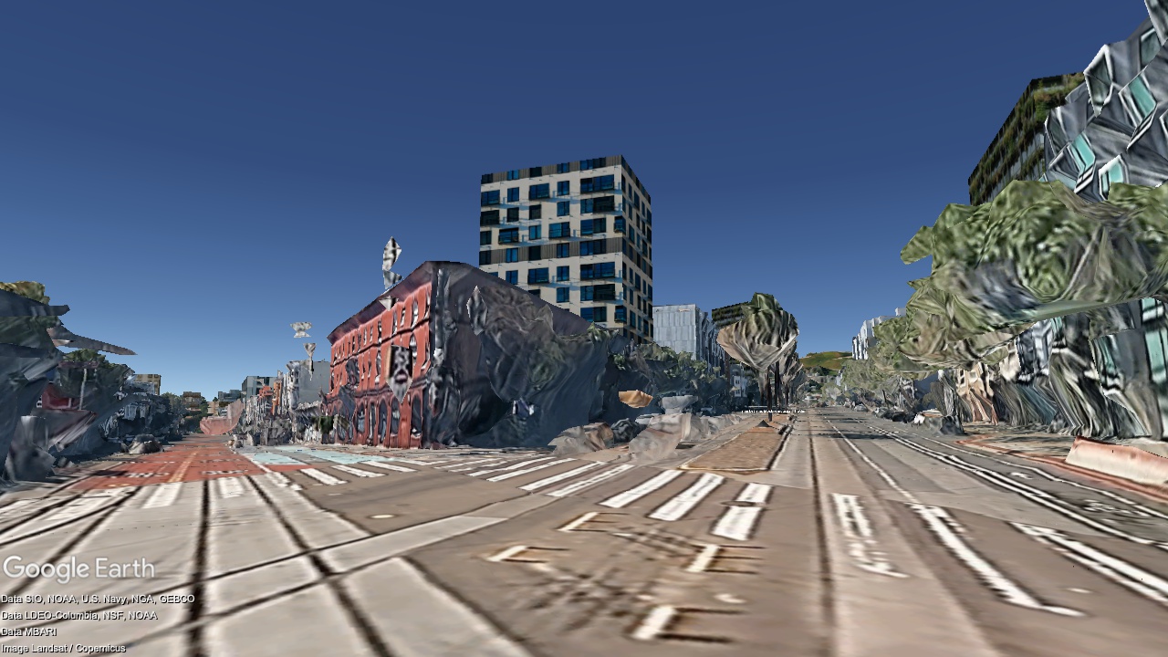
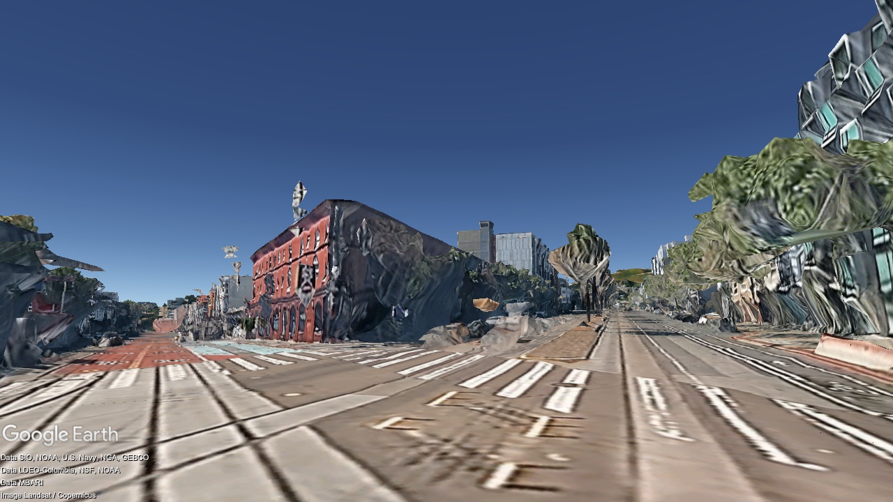
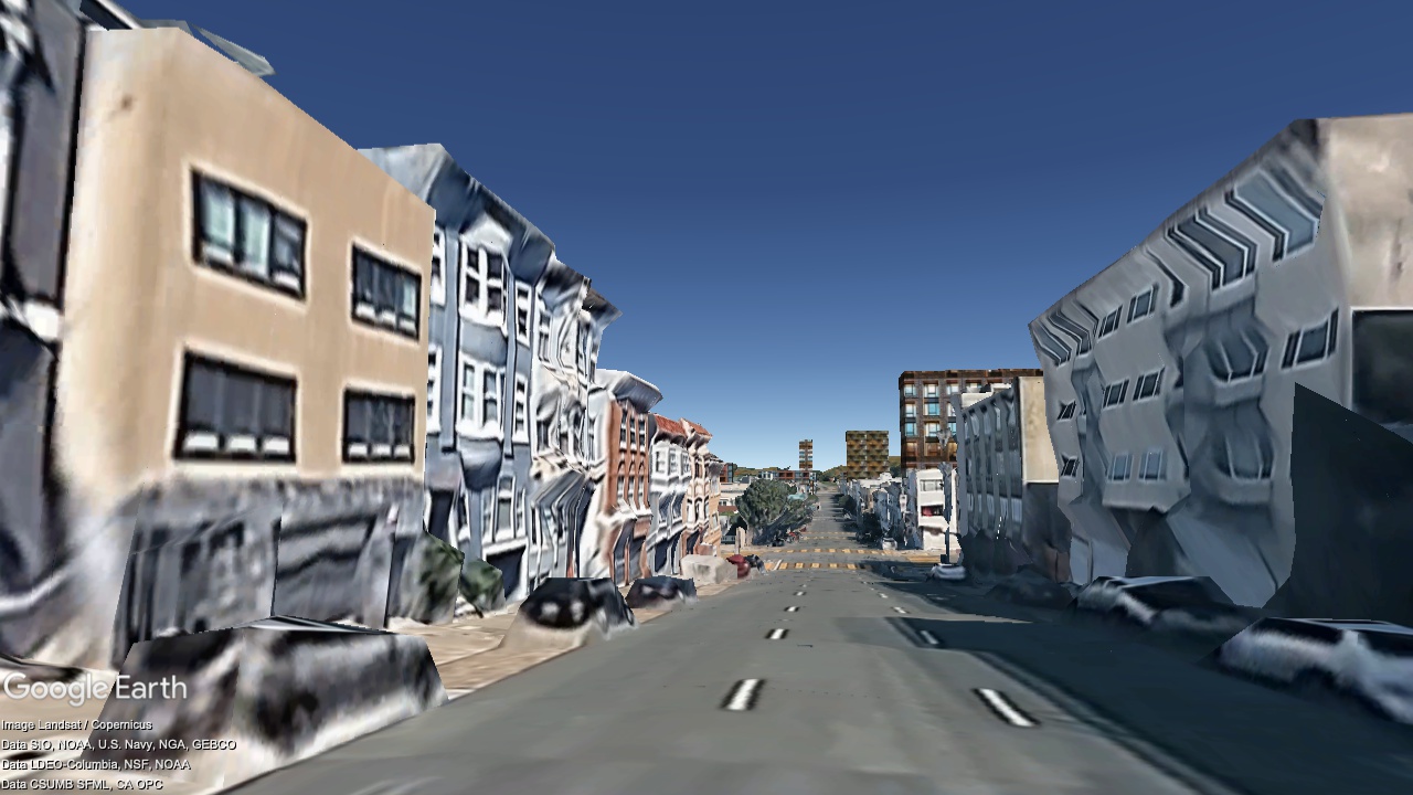
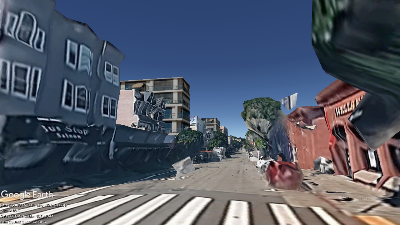
Market Street at Duboce St, looking Southwest
2036
Now
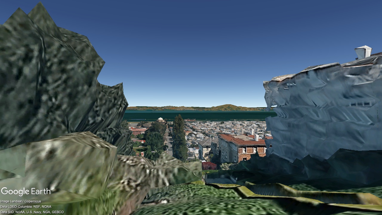
Marina & Cow Hollow
Francisco Park, looking Northwest (only one new building is visible, and it's downslope)
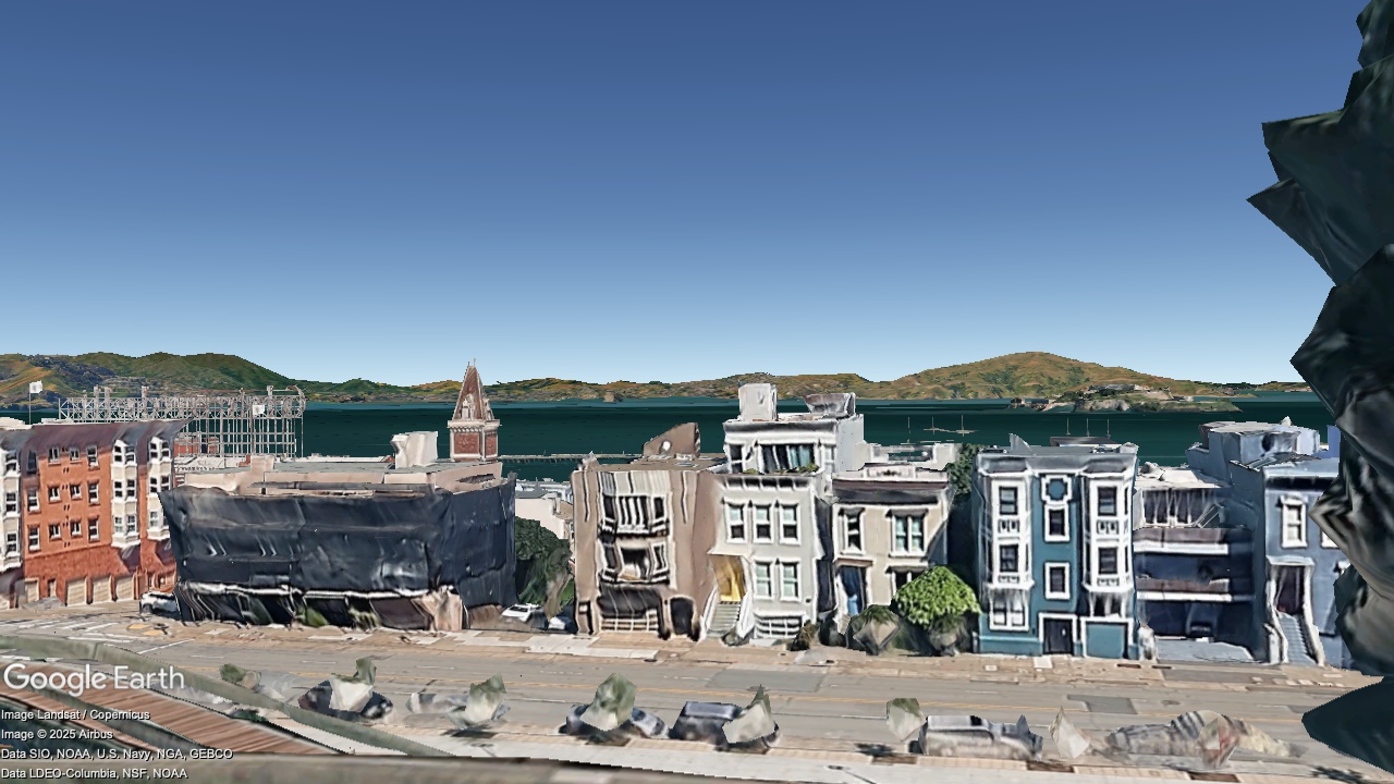

2036
Now
Lyon Street Steps, looking Northeast

2036
Now
Lombard St. at Laguna St., looking East
2036
Now
Lombard St. at Pierce St., looking West
2036
Now
Franklin St. at Vallejo St., looking North

2036
Now
Union St. at Laguna St., looking West
2036
Now